
Explore Our Services
Underground insights. Above ground solutions.
Tierrascan supports utility, infrastructure and construction projects with practical underground utility information. Our approach combines desktop research, asset records, GPR, EML and survey data to help clients plan and design with greater confidence.
What We Offer
-
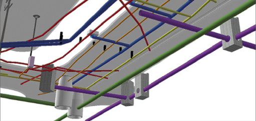
We produce 3D utility information to support design development, coordination, clash identification and project planning. Using the latest technology, our clients have the benefit of seeing beneath the surface without the need for excavation during feasibility stages.
-
We obtain and collate available utility records to provide an initial understanding of known underground infrastructure. Clients can provide existing records, or Tierrascan can request available asset information on their behalf.
-
We inspect visible utility features and compare site observations against available records. This can identify discrepancies and help refine the requirements for further investigation.
-
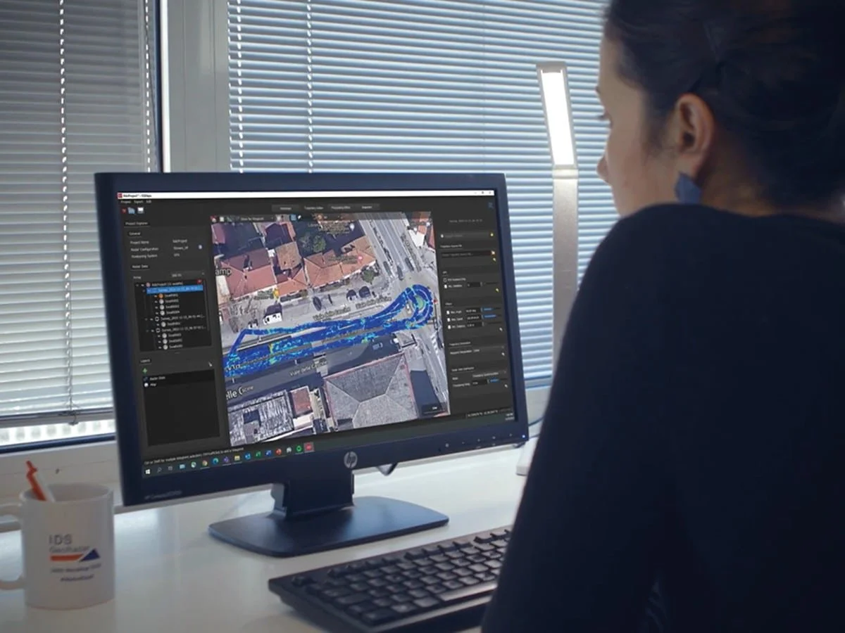
We use Ground Penetrating Radar and Electromagnetic Location to detect and map underground utilities. The methodology and survey intensity are agreed according to the project objectives, site conditions and required confidence level.
-
Type A surveys verify utility positions and depths through inspection or exposure. Excavation must be carried out by an appropriately competent contractor; Tierrascan can provide survey support during the works.
Let’s Work TogetherIf you're interested in working with us, complete the form with a few details about your project. We'll review your message and get back to you.