

Accurate underground utility information for planning, design and safer excavation.
Tierrascan provides GPR, utility mapping and 3D modelling services for utility and infrastructure projects.
Services
Utility survey services from desktop research to on-site verification
PAS 128 surveys: Survey Types D, C, B and A, subject to the agreed project scope.
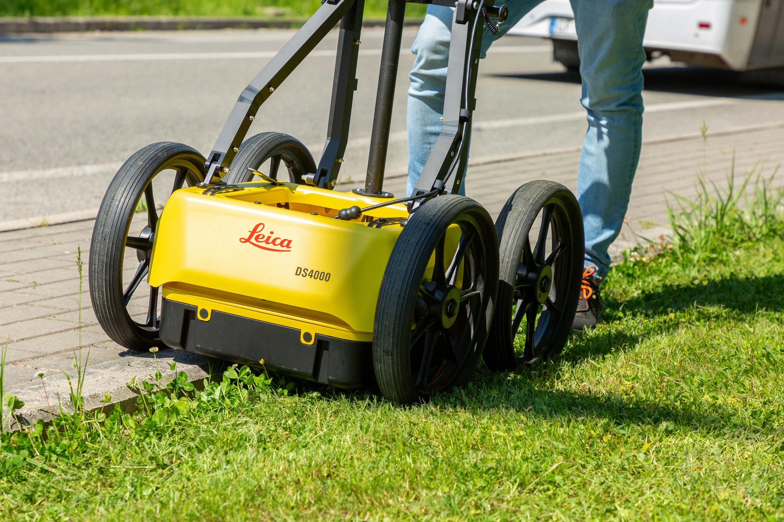
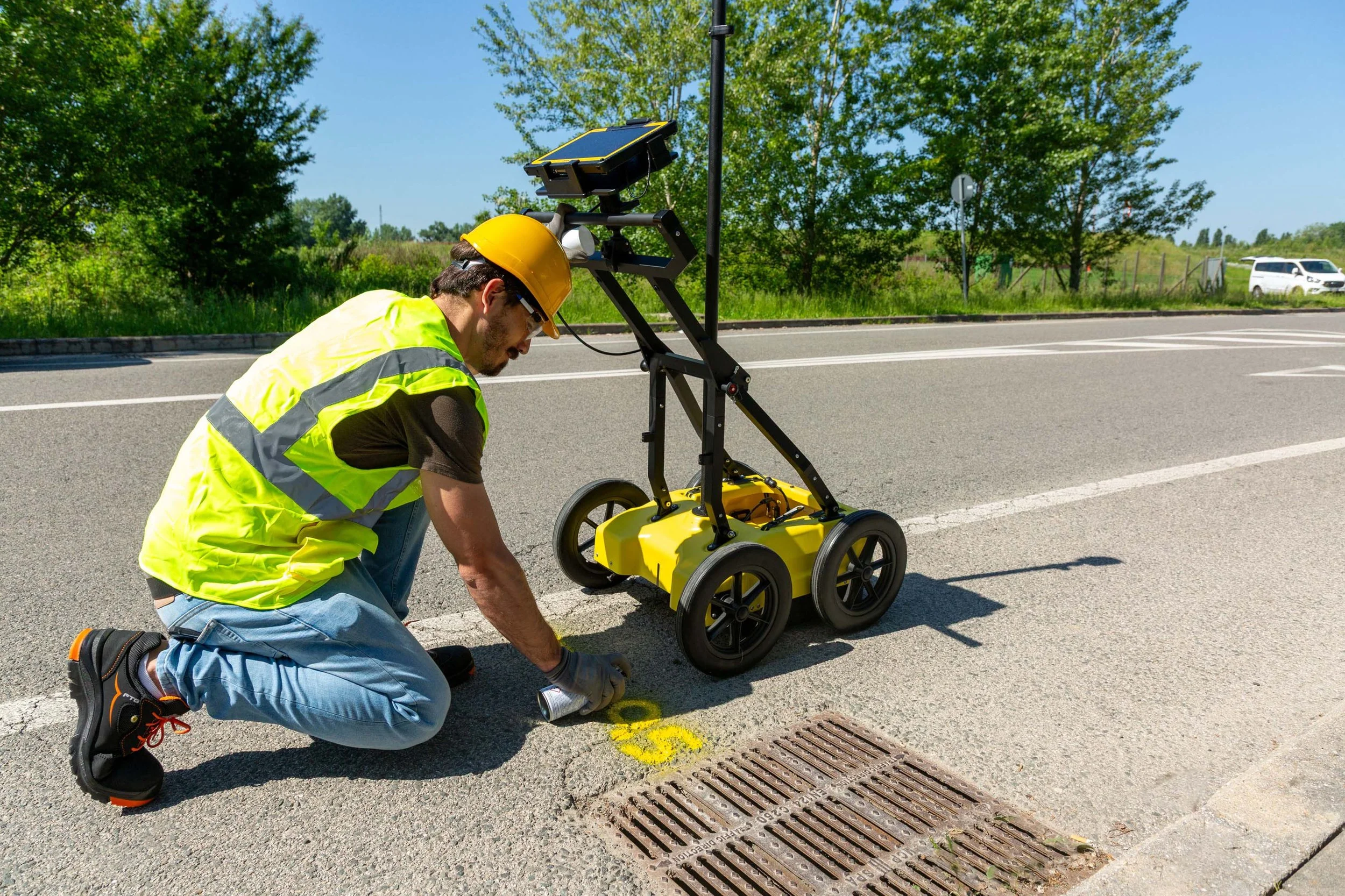
GPR and EML detection: On-site detection and mapping of underground utilities.
3D utility modelling: Clear utility models for planning, coordination and design.
Excavation support: Survey assistance while excavation is undertaken by others.
Why Tierrascan
UK-wide coverage
Survey options for every project stage
Combined asset records, GPR and EML methodology
Clear drawings, utility mapping and 3D deliverables
Fast turnaround for desktop and reconnaissance surveys